
Western Washington Street Mobility Improvements
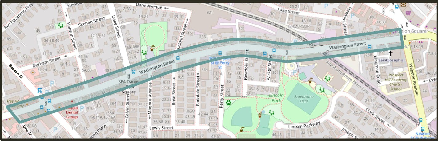
The City of Somerville is planning to reconstruct sidewalks and repave Washington Street between Webster Avenue and Line Street. As part of this effort, the City has the opportunity to explore a new design that makes it safer and more comfortable for people walking, wheeling, biking, taking the bus or driving.
The City launched a community engagement process in March 2022. A conceptual design for the street was developed over 2022 shaped by community input. The City finalized design in 2023 and initiated preliminary construction in late 2023. Construction is anticipated to be completed by the end of 2024.
Check out final design illustrations in English, Español, Português, Kreyòl Ayisyen, नेपाली, 简体中文版, 繁體中文版.

Who's Listening
-

Email rwright@somervillema.gov -

Phone 617-981-2896 Email jmoos@somervillema.gov -
Construction Public Information Officer
NAEmail nalakel@somervillema.gov
Documents
-
 First Community Meeting Presentation Slides (Mar 1, 2022) (5.43 MB) (pdf)
-
Second Community Meeting Presentation Slides 9.28.22 (7.7 MB) (pdf)
-
 Community Meeting #2 Flyers
-
West Wash Public Meeting 2 Flyer (English) (1.36 MB) (pdf)
-
West Wash Public Meeting 2 Flyer (Haitian Creole) (1.36 MB) (pdf)
-
West Wash Public Meeting 2 Flyer (Nepali) (1.38 MB) (pdf)
-
West Wash Public Meeting 2 Flyer (Portuguese) (1.36 MB) (pdf)
-
West Wash Public Meeting 2 Flyer (Simplified Chinese) (1.62 MB) (pdf)
-
West Wash Public Meeting 2 Flyer (Spanish) (1.36 MB) (pdf)
-
West Wash Public Meeting 2 Flyer (Traditional Chinese) (1.64 MB) (pdf)
-
-
Survey and Public Input Engagement Report Western Washington Street August 2022 (424 KB) (pdf)
-
Design Feedback Survey Report Western Washington Street Mobility Improvements Fall 2022 (594 KB) (pdf)
-
Final Proposed Designs Materials
-
Western Washington St and Ward 2 Proposed Final Designs Map (6.35 MB) (pdf)
-
Rendering of final design on Washington Street at Rose Street (9.04 MB) (png)
-
English West Wash Final Designs Brochure 2023 (9.85 MB) (pdf)
-
Spanish West Wash Final Designs Brochure 2023 (9.86 MB) (pdf)
-
Portuguese West Wash Final Designs Brochure 2023 (9.86 MB) (pdf)
-
Haitian Creole West Wash Final Designs Brochure 2023 (9.86 MB) (pdf)
-
Nepali West Wash Final Designs Brochure 2023 (10 MB) (pdf)
-
Simplified Chinese West Wash Final Designs Brochure 2023 (10.2 MB) (pdf)
-
Traditional Chinese West Wash Final Designs Brochure 2023 (10.3 MB) (pdf)
-
2023-07 100% Plans (31.4 MB) (pdf)
-
2023-09 Revision 100% Plans.pdf (46.2 MB) (pdf)
-
July 2023 Traffic Commission Meeting Items for Western Washington St (5.73 MB) (pdf)
-
-
Final Design Illustrations
-
Washington St Final Design Illustration (English) (6.34 MB) (pdf)
-
Washington St Final Design Illustration (Haitian Creole) (6.35 MB) (pdf)
-
Washington St Final Design Illustration (Nepali) (6.36 MB) (pdf)
-
Washington St Final Design Illustration (Portuguese) (6.35 MB) (pdf)
-
Washington St Final Design Illustration (Simplified Chinese) (6.58 MB) (pdf)
-
Washington St Final Design Illustration (Spanish) (6.35 MB) (pdf)
-
Washington St Final Design Illustration (Traditional Chinese) (6.61 MB) (pdf)
-


